Identify the image type
Distinguish aerial photography, satellite imagery, street panoramas and 3D representations. Production methods and time references differ. A Google Earth view can combine several acquisitions: a visually continuous scene does not necessarily represent a single moment.
Retain reference details
Record location, layer, displayed date or range, named provider where available and consultation date. Do not replace a missing acquisition date with the date you took a screenshot. Keep the precise observation location: a mosaic’s time reference can change between areas. An absent date remains an explicit limitation.
Separate observation and hypothesis
A visible roof supports a description of its shape, not a claim about current building activity. An unclear area does not establish a provider’s intention by itself. For a closure, construction project or public access, find current primary information from the organisation responsible for the place.
Compare carefully
Retain image dates and credits without removing required attribution. Describe important elements in text for readers who cannot see the image. Explain different dates or layers before drawing conclusions. Identify which observation a visit, current source or another survey should confirm.
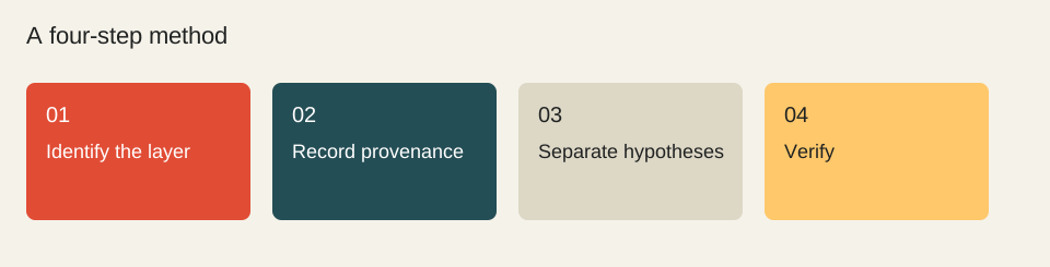
- Identify the layer
- Record provenance
- Separate hypotheses
- Verify
Worked example
Fictional record: visible building; displayed range: 2022–2023; consulted in 2026; current activity: unestablished. “A building appears in the historical image” is supported. A recent source is needed before claiming the place still welcomes visitors. Publishing your article today does not update the underlying survey.
Check before moving on
These checkboxes are not saved.
Sources & method
Sources reviewed on 1 October 2026. Worked calculations use explicitly hypothetical inputs.
Topic provenance: Premières censures françaises sur Google Earth (2007-06-08). Search Engine Feng Shui. Byline retained in the consulted version: François Houste.
This guide is newly written in 2026. It does not reproduce the earlier text and is not attributed to its historical author.